About Bernardston

by Jim Gildea
Bernardston is a small rural town in western Massachusetts, located in north central Franklin County, on the border between Massachusetts and Vermont. The town is 23.4 square miles in area, with a population of approximately 2100. The town enjoys an Open Town Meeting form of government, with a three member Board of Selectmen. The major roads through town are US Route 5, MA Route 10 and Interstate 91.
In concert with the climate of New England, Bernardston’s climate can be highly variable from year to year, often featuring cold winters and mild to hot summers. The winter season can be long and bitter or short and sweet. During the pleasant winter of 2011-12, Canada Geese were steady visitors to Bernardston’s farm fields, eating the grass and weeds that stayed green throughout the winter months.
Bernardston’s many hills are eastward extensions of both the Green Mountains and the Appalachians. East and west of the town’s center where the Falls River runs, the hills rise steeply. Both Wildcat Mountain and Bald Mountain on the west and east sides of the Falls River, respectively, are more that 1100 feet above sea level. Deer and bears are plentiful and a small population of moose has also taken up residence.
Vegetation consists of two forest types: the transitional hardwood forest of the hills and a southern New England flood-plain forest. The majority of the town lies in the Connecticut River basin, though a small, southwesterly part lies in the Deerfield River Basin.
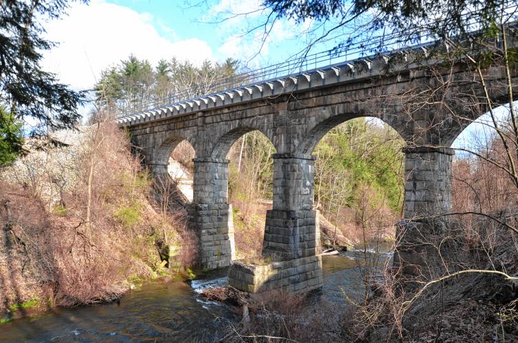
The extensive aquifer, fed by tributaries of the Falls River, feed the town’s wells, supplying water to the central village. The Falls River is so named because a short distance south of town, it flows into the Connecticut River at the “Great Falls” (now known as Turners Falls).
Bernardston is characterized by some of the most fertile, agricultural soils in the country and features a rich network of rivers and streams that flow from an extensive network of springs in the hills and mountains.
Bernardston was first settled by the survivors and families of soldiers who had fought in a skirmish at the “Great Falls” in 1676 during “King Phillip’s War”. The town was formed as “Falls Fight Township” in 1734 by petition to the state legislature of Samuel Hunt of Billerica. Hunt’s father had been a member of the militia at the Falls Fight in 1676. The town’s name was changed to Bernardston in 1762, when the town petitioned for incorporation. Francis Bernard was Royal Governor from 1760-1769.
Four forts were among the first homes in Bernardston. A fort on Huckle Hill, adjacent to the former Meeting House/Congregational Church, was built in 1739-40 to protect the settlers during “King George’s War”. That was known in America at the (first) “French and Indian War”. At the end of the second French and Indian War (1756-63), when Bernardston was considered safe from further attack, the forts were no longer used and the Meeting House/Congregational Church was moved to the Town Center. The former Meeting House was one of the earliest Congregational Churches built in Massachusetts. Today it’s on the “National Register of Historical Places”, and is part of the Unitarian Church.
Another fort in North Bernardston later became a tavern on the stage coach route that ran from Deerfield to Canada along today’s Route 5. That route paralleled a native trail that ran along the Green River west of Bernardston’s hills.
Bernardston continues to value its history and rural New England landscape, while maintaining its historic open spaces and recreational areas.
Town of Bernardston
Selectboard: (413) 648-5401
Town Clerk: (413) 648-5408
Tax Collector: (413) 648-5410
Assessors: (413) 648-5407
Bernardston Town Hall
38 Church Street
PO Box 504
Bernardston, MA 01337
Selectboard Office Hours:
Mon.-Thurs. 8:30am-3:30pm